Park Maintenance Guidance
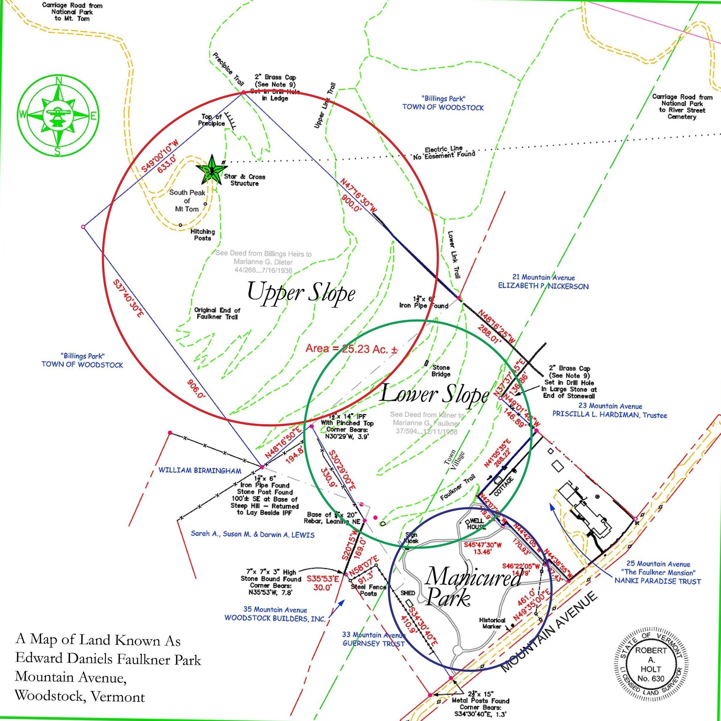
As local eyes and ears for Faulkner Park, Friends of Faulkner Park, Vermont has positioned itself to offer park maintenance guidance to the Faulkner Trust when requested and as needed. The FOFP-VT approach focuses on actions to maintain and improve the Faulkner Park property. It includes “Year One” actions to address immediate concerns and ongoing “Long-Term” actions needed to maintain the Park and improve it over time. Our planning would consider “rough order of magnitude” (ROM) cost development and allow prioritization of work to support annual and long-term planning and budgeting. FOFP-VT’s assessment of the Park divides the property into three focus areas. Planning would consider each area separately. The map below shows the three areas defined by colored circles:
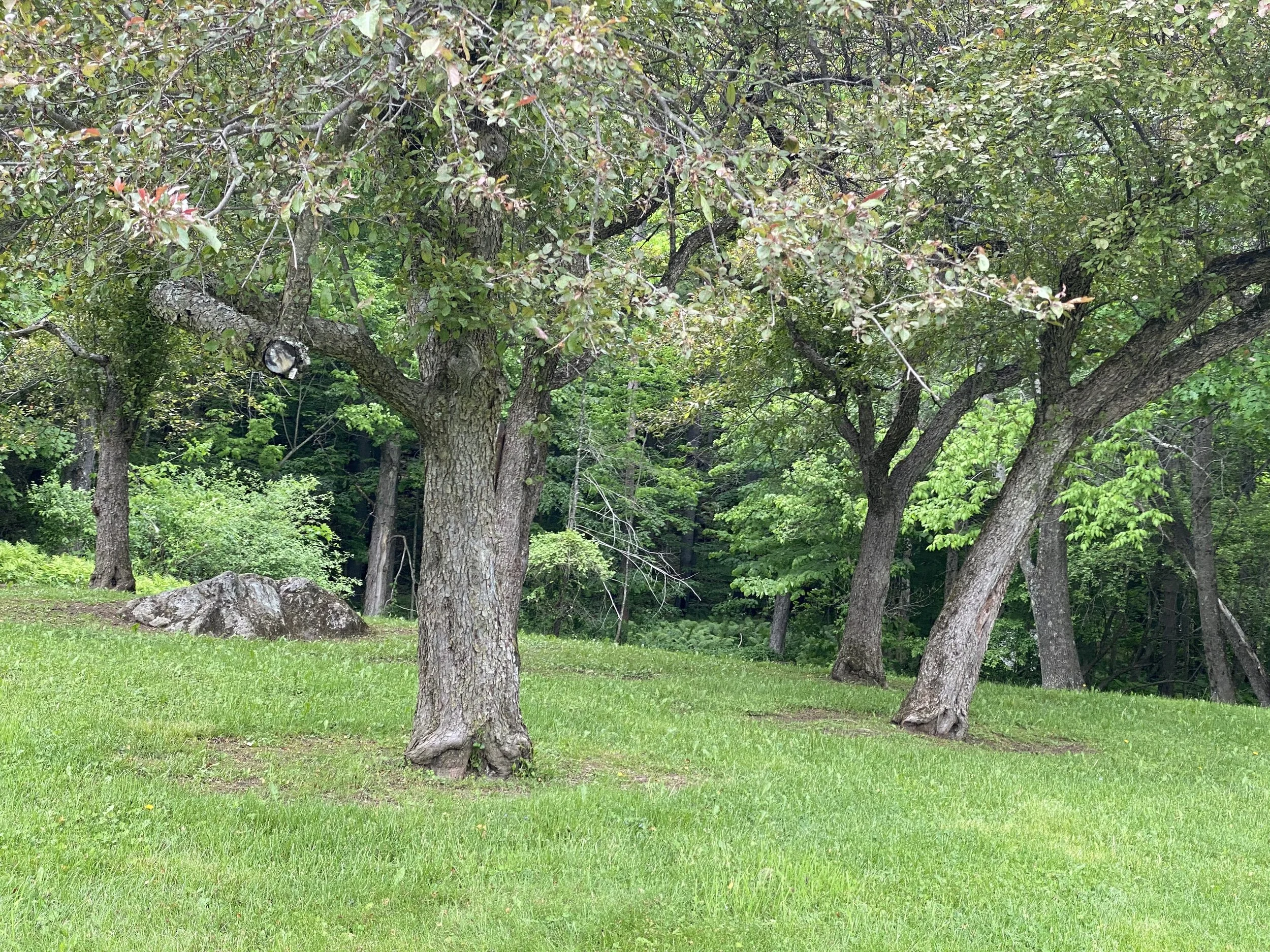
* Manicured Park (Blue Circle on Map): Consisting of the manicured section along Mountain Avenue that includes asphalt walkways, benches, specimen trees, groves of dense hardwoods, several structures (including Spring House and Equipment Shed) and informational kiosks/waste containers. This area contains the historical marker about Marianne Faulkner and the original engraved stone sign “Edward Daniels Faulkner Memorial Park.” This is what many people think of when they hear the term “Faulkner Park.” Cars park along the front of the property, pulling to the side of Mountain Avenue. The Faulkner Trail, one of the premier trails in the Woodstock Trail system, begins at the kiosk in the rear of the Manicured Park and begins a series of switchbacks to the South Peak of Mt Tom, passing through the other two Areas.
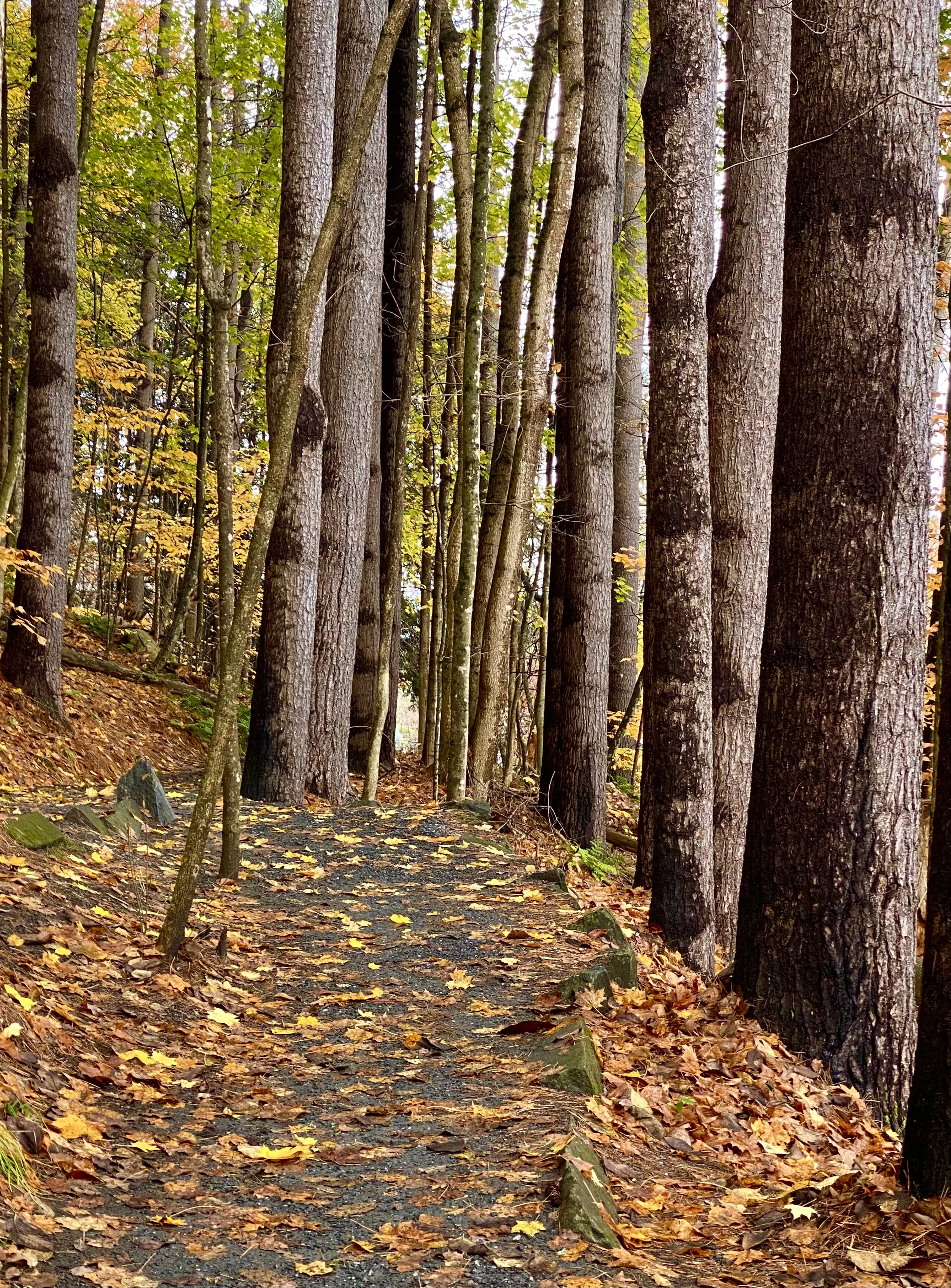
* Lower Slope (Green Circle on Map): Stretching along the Lower Slope of Mt Tom between the kiosk (back end of the manicured park) and the stone bridge approximately one-third of the way up the Faulkner Trail. This is a section of White Pine forest (all trees uniform age, height, condition) with some smaller hardwoods beginning to grow into an understory—including Beech and Oak and the odd Maple. Several pockets of Hemlocks are also resident in the Lower Slope. The Faulkner Trail in this section has well-defined switchbacks and a crushed stone surface. Periodically, fallen White Pines flank the trail to help prevent off-trail walking. The Lower Link Trail enters Faulkner Park from the east and intersects the Faulkner Trail near the top of the Lower Slope area. This trail runs laterally across the face of Mt Tom, eventually running into the Cemetery Trail to the east.
* Upper Slope (Red Circle on Map): Extending from the Faulkner Trail’s stone bridge to the South Peak of Mt Tom, a steeper incline defines this section of the property. The composition of the forest in the Upper Slope changes from White Pines to a more mixed forest including Beech, Oak, Hemlocks and other small trees, less impacted by shade but facing slightly harsher conditions of higher altitude (slightly more stunted growth). In this section, the Faulkner Trail has a dirt and rock surface (not manicured with crushed stone). Switchbacks continue in the same therapeutic gradient incline and stone retaining walls reinforce the trail in several sections. This section is rougher and requires a bit more caution for hikers, with periodic roots and rocks. At the top, where Mt. Tom crests with a rock face, a cabling system provides more security for hikers (and creates additional risk/responsibility for park managers). The upper portion of another trail, the Precipice Trail, crosses into the Faulkner Park property in this Area. Like the Faulkner Trail, the Precipice Trail is a rough and exposed trail, requiring caution. It also employs a cabling section to assist with climbing and scrambling. Another trail, the Upper Link Trail, crosses into Faulkner Park from the east and intersects the Faulkner Trail. The Upper Link Trail runs laterally across Mt Tom and lacks the exposed switchbacks of the Faulkner and Precipice trails. The top of South Peak contains the Star, a National Park carriage road, and several benches and overlooks providing views to the east, south and west. An electric line passes through this area, powering the Star.
© 2024, FOFP-VT, Inc.