Survey Map of Faulkner Park
Faulkner Park Section Map


Faulkner Park and Trail Section Descriptions
-

Manicured Park
The manicured section along Mountain Avenue includes asphalt walkways, a picnic table, benches, specimen trees, and groves of dense hardwoods. A historical marker recognizing Marianne Faulkner and the original engraved stone sign “Edward Daniels Memorial Park” are present in this flat grassy area. An information kiosk can be found in the western corner at the base of the trail leading up the slope of Mt. Tom via switchbacks.
(Blue Circle on Map) -

Lower Slope
The Faulkner Trail begins in the back end of the manicured park with well-defined switchbacks and a crushed stone surface stretching along the Lower Slope of Mt. Tom between the kiosk and the stone bridge. Approximately one-third of the way up the Faulkner Trail where hikers can enjoy a resting bench. The trail passes through a section of White Pine forest with some smaller hardwoods beginning to grow into an understory—including Beech and Oak and the odd Maple. Several pockets of Hemlocks are also resident in the Lower Slope. The Lower Link Trail enters Faulkner Park from the east and intersects the Faulkner Trail near the top of the Lower Slope area. This trail runs laterally across the face of Mt Tom, eventually running into the Cemetery Trail to the east.
(Green Circle on Map) -

Upper Slope
Extending from the Faulkner Trail’s stone bridge up to the South Peak of Mt Tom, a steeper incline defines this section of the property. In this section, the Faulkner Trail has a dirt and rock surface (not manicured with crushed stone). Switchbacks continue in the same therapeutic gradient. The composition of the forest in the Upper Slope changes from White Pines to a more mixed forest including Beech, Oak, Hemlocks and other small trees incline and stone retaining walls reinforce the trail in several section. This section is rougher and requires a bit more caution for hikers, with periodic roots and rocks. At the top, where Mt. Tom crests with a rock face, a cabling system provides more security for hikers. The top of South Peak contains the Star and Cross.
(Red Circle on Map)

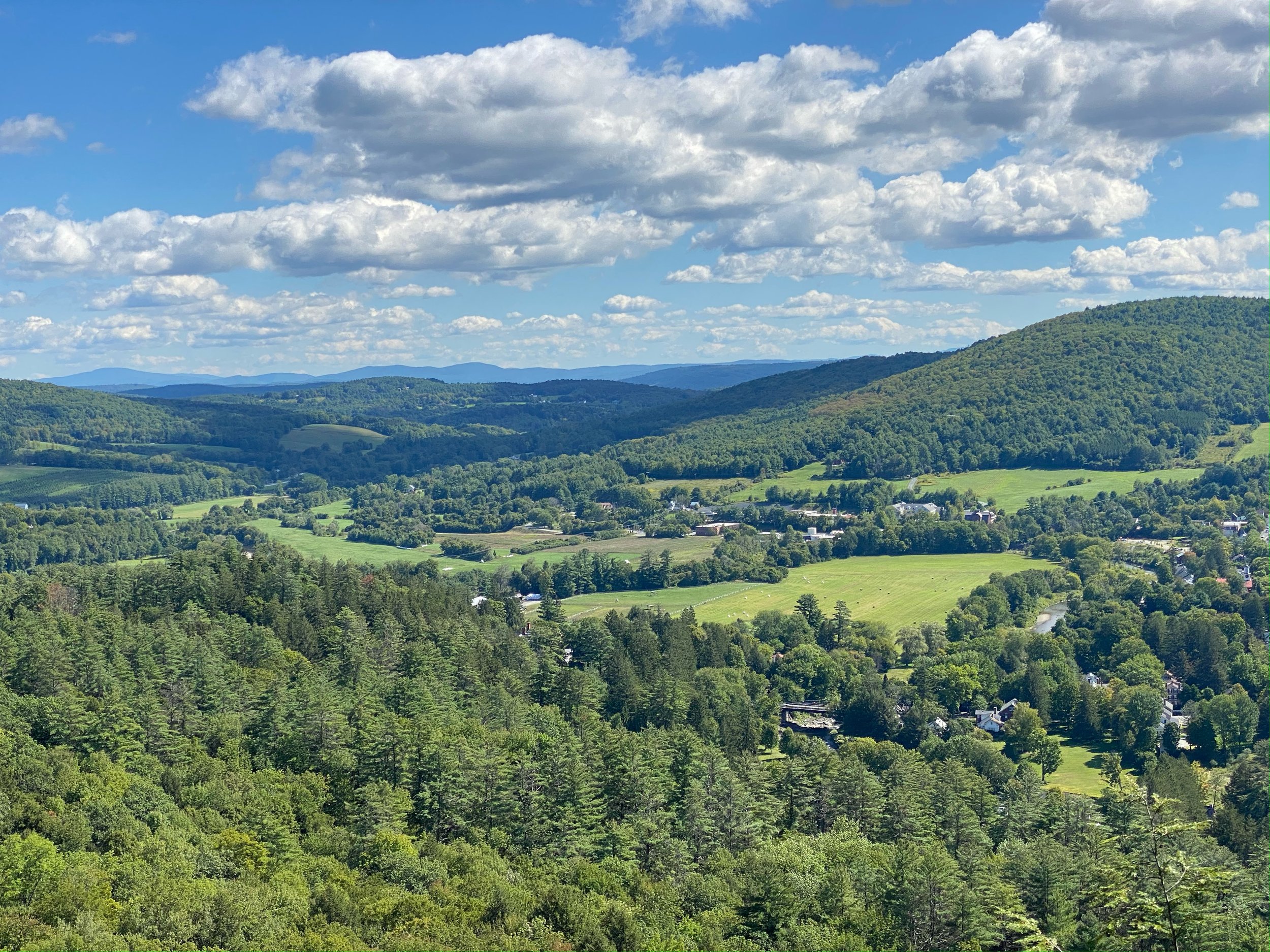
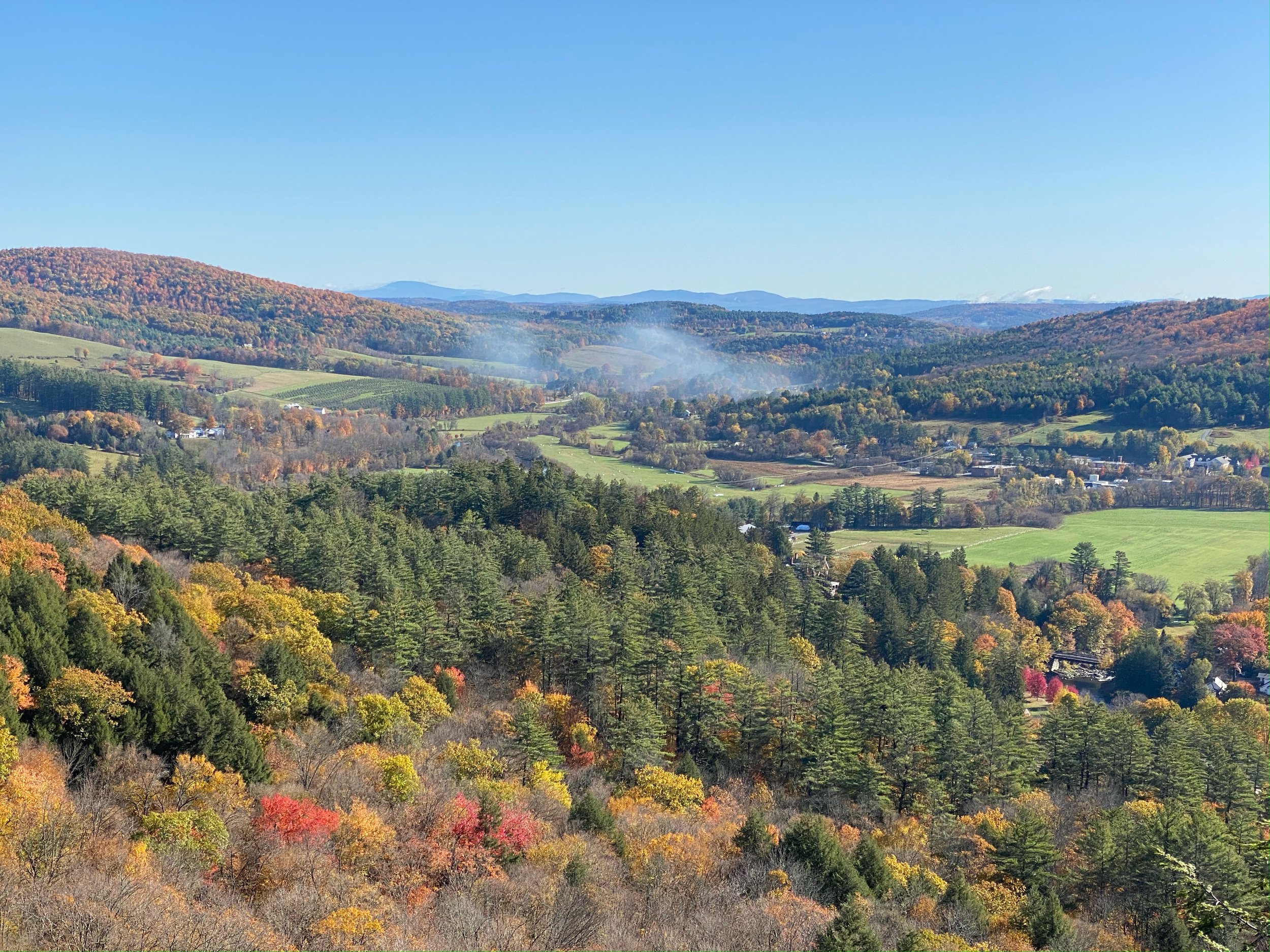
views in manicured section of park


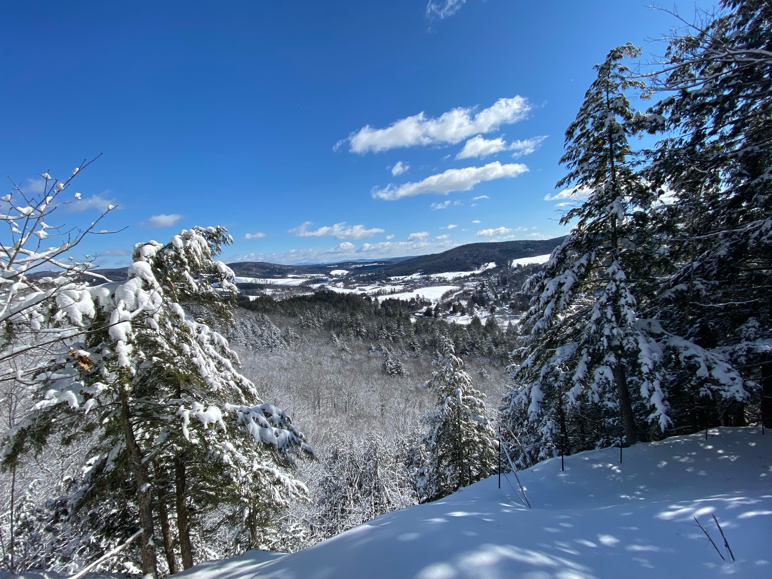
views in lower slope section


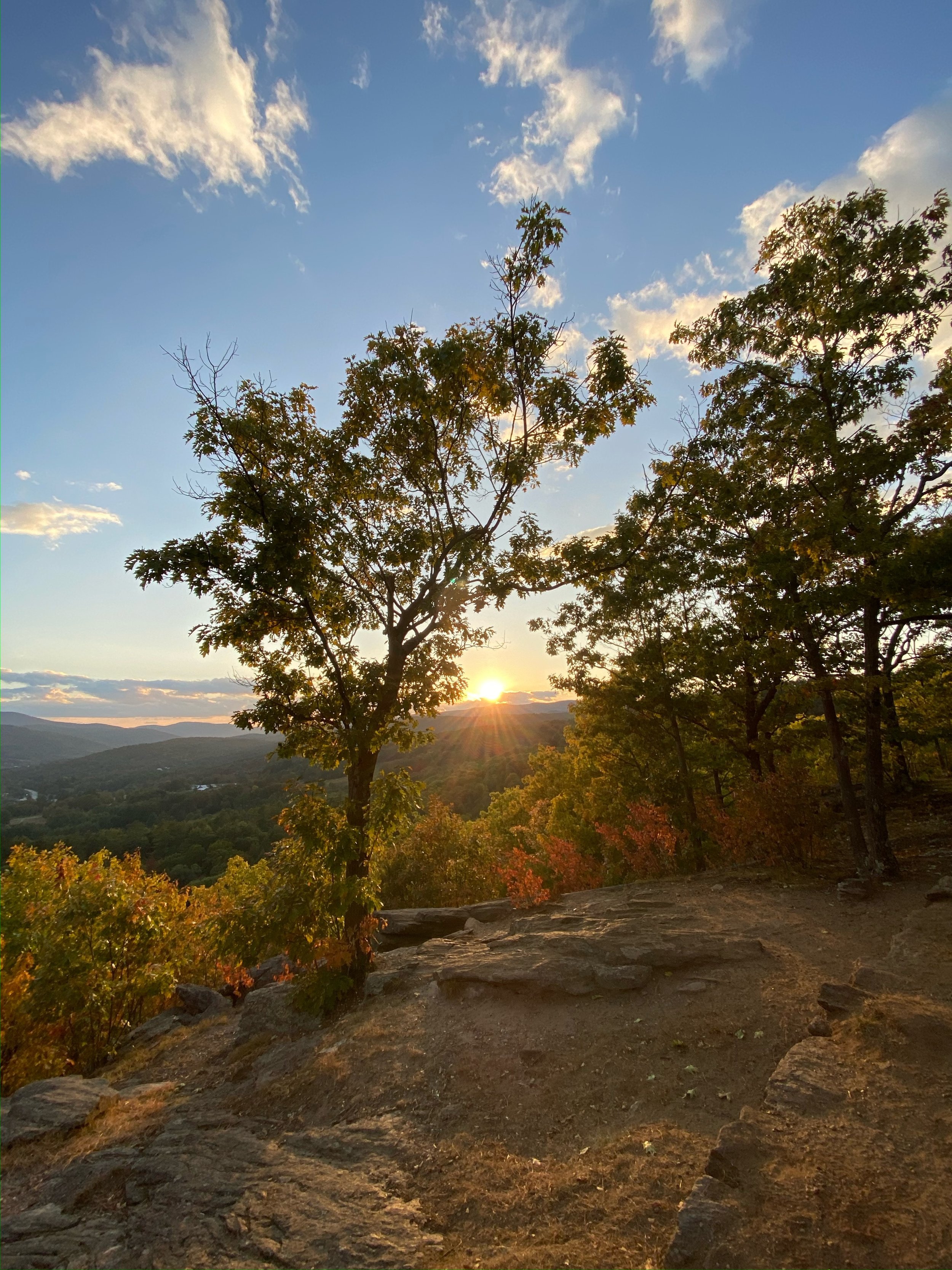
views from the upper slope section